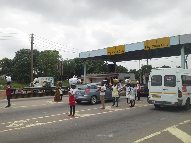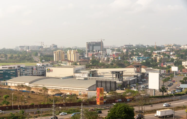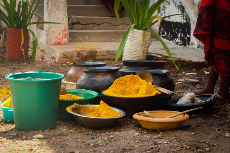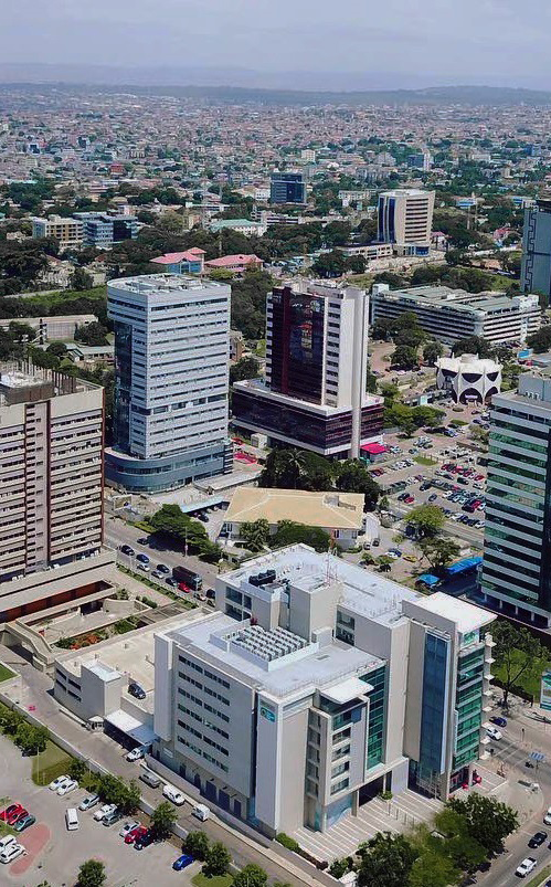

The Greater Accra Region is Ghana’s smallest administrative region by land area, yet it holds the country’s largest population and serves as its political and economic heartbeat. As the home of the national capital, Accra, this coastal region functions as the primary gateway for government, business, and international travel. Despite covering just 3,245 square kilometers, roughly 1.4 percent of Ghana’s total land area, it accounts for 17.7 percent of the national population, making it the most densely settled part of the country. The region’s significance extends beyond its size: it is the most urbanized region in Ghana, with 87.4 percent of residents living in urban centers, and it has overtaken the Ashanti Region to become the nation’s most populous region according to the 2021 census.
Location
Overview
The Greater Accra Region occupies a distinctive place in Ghana’s administrative structure. It is the smallest of the country’s 16 regions in terms of landmass, but its demographic weight and economic activity give it outsized influence. The region sits within the coastal belt of Ghana, bordered by the Eastern Region to the north, the Central Region to the west, and the Volta Region to the east. To the south lies the Gulf of Guinea, providing the region with a coastline that spans roughly 220 kilometers, stretching from Langma near Kasoa in the west to Ada in the east.
Historically, the area now known as Greater Accra was not always a separate region. In 1960, it was referred to as the Accra Capital District and was geographically part of the Eastern Region, though it was administered separately by the minister responsible for local government. The region as it exists today was legally established on 23 July 1982 through the Greater Accra Region Law (PNDCL 26), which created it as a distinct administrative entity. This relatively recent administrative separation reflects the area’s rapid growth and its distinct character as Ghana’s primary urban and governmental center.
Capital and Administration
Accra serves as the capital of the Greater Accra Region and, by extension, the national capital of Ghana. The city functions as the seat of government, hosting the presidency, parliament, and the highest courts of the land. As the region’s administrative anchor, Accra also houses the headquarters of numerous government ministries, foreign embassies, and international organizations.
The political administration of the Greater Accra Region operates through Ghana’s local government system. The region is divided into multiple district, municipal, and metropolitan assemblies, commonly referred to as MMDAs. Each assembly is administered by a chief executive, with an assembly headed by a presiding member elected from among its members. Members of Parliament represent the central government at the constituency level. The number of these administrative areas has grown steadily over time, increasing from 3 to 5 in 1988, then to 6 in 2004, 10 in 2008, 16 in 2012, and reaching 29 administrative areas by 2018. The Ministry of Food and Agriculture’s regional profile describes the region as divided into 10 assemblies, reflecting an earlier administrative structure; the current structure, however, comprises 29 administrative areas.
The regional coordinating council, accessible through its official website, oversees the coordination of development planning and the implementation of government policies across the region’s assemblies.
Population and Geography
The Greater Accra Region recorded a population of 5,455,692 in the 2021 Population and Housing Census, making it the most populous region in Ghana. This figure represents a significant increase from the 4,010,054 residents counted in the 2010 census and the 2,905,726 recorded in 2000. The 2021 census marked a historic shift: Greater Accra overtook the Ashanti Region, which had been the most populous region since 1970. The region’s population growth between 2010 and 2021 was 35.8 percent, one of the highest intercensal increases in the country.
Geographically, the region is defined by its coastal position and relatively flat terrain. Its total land surface of 3,245 square kilometers makes it the smallest region in Ghana by area. The region’s population density is correspondingly high, with the 2021 census recording 1,236 persons per square kilometer, a figure almost six times higher than that of the Ashanti Region, which has the second-highest density. The center of population is located within the Greater Accra Metropolitan Area, which encompasses the Accra Metropolitan, Tema Metropolitan, Adenta Municipal, La Nkwantanang Madina Municipal, Ashaiman Municipal, Ledzokuku-Krowor Municipal, Ga East Municipal, Ga West Municipal, and Ga South Municipal districts.
The region experiences a bi-modal rainfall pattern, with a major rainy season from April to July and a minor season from August to October. Average annual rainfall ranges from about 800 millimeters on the coast to roughly 1,270 millimeters inland. Temperatures are relatively stable throughout the year, with annual averages ranging between 25.1°C in August and 28.4°C in February and March, the hottest months. Relative humidity averages about 75 percent. The region’s soils are predominantly sandy and clayey loams, with alluvial soils found in valley bottoms and estuaries.
Major Towns
Beyond the capital Accra, the Greater Accra Region contains several significant urban centers that contribute to its economic and cultural life. Tema, the region’s second major city, is home to Ghana’s largest seaport and a major industrial hub. The Tema Metropolitan District encompasses the city and its surrounding communities, including Tema Community 18, which serves as the capital of the Tema West Municipal District.
Other notable towns include Ashaiman, a densely populated municipality adjacent to Tema, and Madina, the capital of the La Nkwantanang Madina Municipal District, which serves as a major commercial center for the northern suburbs of Accra. Adenta, located along the Accra-Madina corridor, has grown rapidly as a residential suburb. Dansoman, in the Ablekuma West Municipal District, is one of Accra’s most established residential neighborhoods. Weija, capital of the Weija-Gbawe Municipal District, sits near the Densu River and the Weija Dam. To the east, the coastal towns of Ada Foah and Sege serve as the capitals of the Ada East and Ada West districts, respectively, while Prampram and Dodowa anchor the Ningo-Prampram and Shai Osudoku districts.
Languages and Culture
The Greater Accra Region is culturally diverse, with the Ga-Dangme people being the historical inhabitants of the area. The Ga subgroup, part of the larger Ga-Dangme ethnic family, is the traditional population of Accra and its immediate surroundings. Historically, the Ga peoples were organized into six independent towns: Accra (Ga Mashie), Osu, La, Teshie, Nungua, and Tema. Each town had a stool, which served as the central object of Ga ritual and war magic.
According to the 2010 census, the largest ethnic group in the region is Akan, comprising 39.8 percent of the population. The Ga-Dangme people make up 29.7 percent, while the Ewe constitute 18 percent. This ethnic diversity reflects the region’s role as Ghana’s primary destination for internal migration and its appeal for people from across the country.
The Ga people celebrate the Homowo festival, which literally means "hooting at hunger." This festival originated several centuries ago in remembrance of a famine that affected the Ga people in the 16th century. It is primarily a food festival that celebrates the passing of that difficult period in Ga history. Homowo takes place in August every year and is celebrated by all Ga clans.
The Adangbe people from Ada celebrate the Asafotu festival, also called Asafotufiam, an annual warrior’s festival celebrated from the last Thursday of July to the first weekend of August. The festival commemorates the victories of Ada warriors in battle and serves as a memorial for those who fell on the battlefield. Warriors dress in traditional battle dress and stage a mock battle to re-enact historic events. The festival also coincides with the harvest cycle and includes purification ceremonies. The celebration reaches its climax with a durbar of chiefs, a colorful procession of chiefs in palanquins accompanied by traditional military groups called Asafo Companies, with drumming, singing, and dancing through the streets.
Religiously, the region is predominantly Christian, with 77.8 percent of the population identifying as Christian according to census data. Muslims make up 16.2 percent, while 4.6 percent belong to other religions and 1.4 percent practice traditional religions.
Economy
The Greater Accra Region serves as the economic engine of Ghana, hosting the country’s primary financial institutions, corporate headquarters, and international trade infrastructure. The region’s economy is diverse, with significant activity in services, manufacturing, construction, and trade. As the most urbanized region in Ghana, its economic profile is dominated by the formal and informal service sectors that support the national government and international business community.
Agriculture, while less dominant than in other regions, remains an important part of the local economy, particularly in the more rural districts. The main agricultural activities include livestock and poultry production, fishing, and the cultivation of maize, cassava, and vegetables such as pepper, okro, garden eggs, cabbage, and tomatoes. The region also produces fruits including pineapple, watermelon, and pawpaw, as well as tree crops such as mango. The Ministry of Food and Agriculture identifies four main areas of specialty for the region: crops (cereals, root and tubers, vegetables, tree crops), livestock (small ruminants, local and exotic poultry, pigs, cattle), fisheries (tilapia, catfish, and similar species), and alternative livelihood activities such as rabbit rearing, grasscutter farming, beekeeping, and mushroom cultivation.
The region’s coastal location supports a significant fishing industry, with communities along the Gulf of Guinea engaged in both artisanal and commercial fishing. The Tema harbor, Ghana’s largest port, handles a substantial portion of the country’s imports and exports, making it a critical node in the national and West African trade networks.
Landmarks and Tourism
The Greater Accra Region contains a range of landmarks that attract visitors and hold cultural significance. The region’s coastline, stretching from Kasoa in the west to Ada in the east, offers beaches and coastal communities that are popular destinations for both residents and tourists. The town of Ada Foah, located at the mouth of the Volta River, is known for its riverine and coastal scenery.
Accra itself is home to numerous landmarks, including Independence Square, the Kwame Nkrumah Memorial Park, and the historic Jamestown lighthouse area. The city’s neighborhoods each carry distinct identities, from the historic Ga Mashie area to the diplomatic enclave of Cantonments and the commercial district of Osu. The University of Ghana, located at Legon in the La Nkwantanang Madina Municipal District, is the country’s premier tertiary institution and a notable landmark.
The region is served by Kotoka International Airport in Accra, which offers flights to destinations within Ghana, across the African continent, and to other continents. An active railway line connects Accra and Tema, providing an important transport link between the capital and the port city. These transportation connections make the region the primary entry point for international visitors to Ghana.
Related Entries